All about (data) connections: Precision conservation at the FEW nexus
Amy Kaleita, professor of agricultural and biosystems engineering, works at the intersection of food, energy, water and land use systems on data-driven precision conservation.
Where there’s good soil and water data, she uses it, where there’s gaps in the data, she creates new models to estimate variables, and where there’s neither existing data nor a good model, she designs new sensing systems. And in all cases, Kaleita says she focuses on the connections – between complex natural systems, land uses and more – to protect our land and water.
Connecting overlapping priorities
“My research philosophy is ‘having it all’: Agricultural production and environmental quality are not opposing objectives and both systems can be optimized to maximize benefits to both.
“But one of the challenges of conversation and land-use questions is that there are always multiple demands and multiple systems, so it’s important to really understand the ways each complex system connect to each other – and the ways that stakeholders connect to the systems, so we can balance priorities.”
Connecting right questions to right data
“Data-driven conservation decision making is only useful if that data matches the scale of the question. For example, there’s a lot of great real-time data on nutrient concentration in streams. But if your question is much smaller-scale, like how to manage nutrients on a single farm, a sensor on a farm’s tile line with weekly or season trends would give more actionable info.
“I’m particularly interested in finding innovative ways to bridge the gap in scale between what data is already available, what additional measurements we can do, and what’s useful for decision-making more locally.”
Connecting big-picture goals & localized data
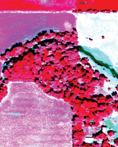
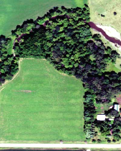
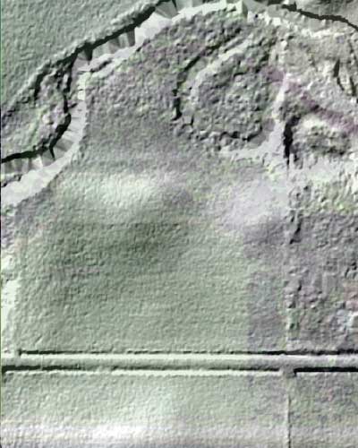
“Precision conservation looks at very specific subsets of localized data – like Iowa’s high-resolution LiDAR datasets that show how water flows through and across a single field and sensing systems that monitor soil or the chemical makeup of water leaving the field. Super localized data can help us understand a snapshot in time and place.
“But I look beyond that snapshot to the bigger picture and to the future. Modeling helps us investigate what would happen if we did something different locally, say, added a buffer or prairie strip in this one area – and what might the big-picture, downstream, long-term benefits might be.”
Connecting collaborators
“We are usually looking at multiple measures at a time and developing more and more integrated ways to model these. That requires building great collaborative relationships with people who have expert-level knowledge about sub-parts of the systems.
“Working across disciplines at Iowa State is not only possible, but encouraged. In my research program, I’ve worked with great collaborators in my own department and across campus. Our teams are making progress on problems shared by a lot of people and with the potential to impact a lot of people.”